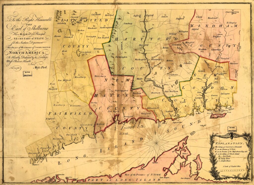
~ Click on map images to enlarge ~

~ Harwinton [2]
More than 300 years ago Native Americans traveled throughout Connecticut. The area now known as Harwinton was a good place to stop because there was food (e.g. berries and nuts) and clean water in streams, brooks, and rivers. The land had many tall straight ash trees that were excellent for making oars for boats. Unfortunately, ash trees that once blanketed the area are no longer here.
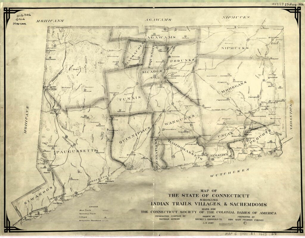
Map shows the locations of Connecticut Indian tribes circa 1625. [3]
In the 1680s the Colony of Connecticut was concerned that its charter might be taken away by the British government and that the Western Lands (now most of Litchfield County) might be lost, thus the entire northwest corner of Connecticut was given to the Hartford and Windsor Plantations for safekeeping. (The Plantations of Windsor and Hartford possessed additional large areas of land.) Once the threat of British ownership was thought to have finally ended, Connecticut’s General Assembly asked to have the land back, but Hartford and Windsor refused! The Hartford and Windsor Plantations reasoned that the land had been given to them.
In 1726 the matter was finally settled through arbitration: Hartford and Windsor kept the eastern section of the contested tract while the western portion was returned to the Colony. In addition to Harwinton, the eastern section of the plantation was carved into what would become the towns of Torrington, Hartland, Barkhamsted, Colebrook, Winchester, New Hartford.
By agreement Hartford became the sole owner of East Harwinton and Windsor the owner of West Harwinton. The boundary was a straight North and South ten rod (165′) wide highway running through the middle of the town from border to border which would become known as North and South Roads.
Tracts of land were parceled out to proprietors (qualified property owners in 1720 or their heirs) from co-owners Hartford and Windsor. The land was divided in proportion to their grand list holdings during the drawings. Young settlers were attracted by the area’s inexpensive farmland with its vast timber and water power. There was an economic need to leave the century old Connecticut Valley towns of large families and diminishing farm sizes.
Among names of Harwinton’s early landowners are: Daniel Hinsdale, Jacob Hinsdale, Joshua Carter, Samuel Moody, Zachariah Seymour, Jonathan Hopkins, Samuel Messenger, Joseph Skinner, Thomas Bull, Cyprian Webster (first person buried in South Cemetery), Gideon Carter, Nathaniel Hatch, Jacob Benton, Jonathan Brace, Ebenezer Hopkins, Thomas Richards, Isaac Butler, Hezekiah Hopkins, Samuel Peck, Amos Hinsdell, Jonathan Butler, Benjamin Catlin, Hezekiah Wyllys and Samual Catlin.
In 1732 the two halves of Harwinton were joined back together in anticipation of eventually being declared one township by a vote of the Colonial Assembly.
The name Harwinton was derived from HARtford and WINndsor and TON (old English for “town”).
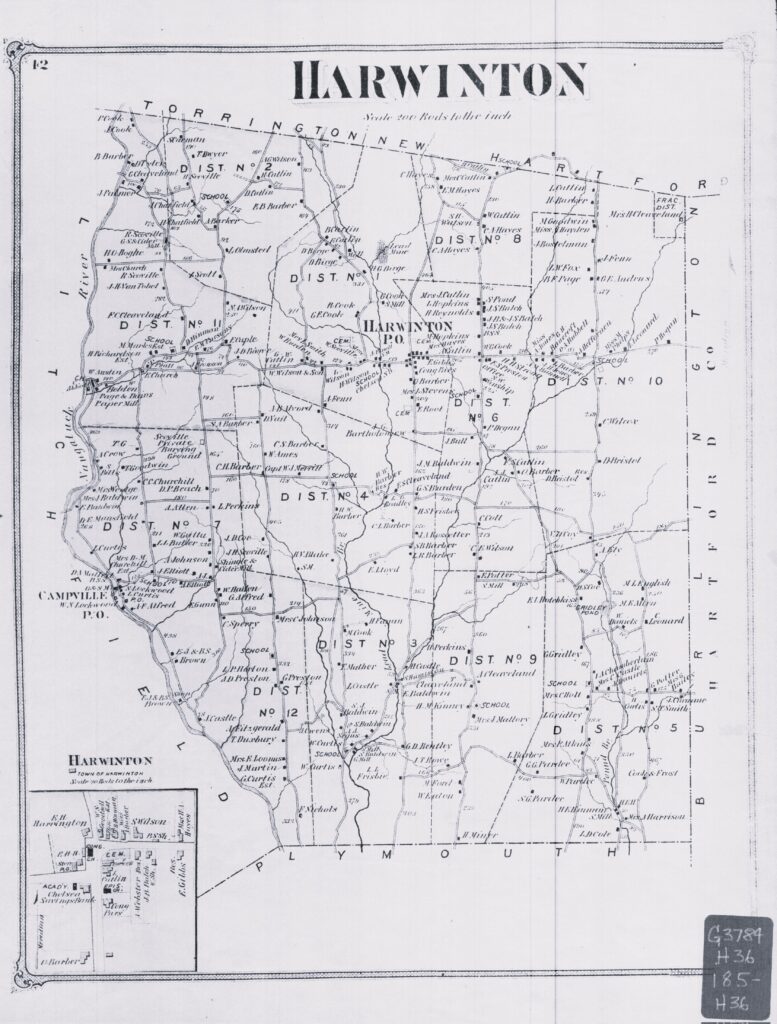
October 1737 approval for “sd plantation to be a town Incorporated and Known by the name of Harwinton” was given by the colonial legislative body. The petition stated that with 161 residents there were needs. Approval was granted for “a tax of two pence per acre be levied for support of ye Gospell Minister and Building a Meeting House”. At this time Harwinton consisted of twenty-five to thirty widely scattered houses.
On December 20, 1737, the first Harwinton Town Meeting was held at the private residence of Jacob Benton on the east side of Locust Road (presently noted as 44 Locust Road land). Daniel Messenger was named moderator and Benton was named Town Clerk. A brander of horses and fence viewers were appointed. Swine were given the liberty to run at large, a sign post to be used to post legal notices and notices of public meetings was to be erected on the “senter line”, a “Meeting House for Divine worship” was to be built on the “senter line”, and the salary for a minister were among the decisions. (See Raymond G. Bentley’s History of Harwinton (p 18-20) for a detailed list of the meeting decisions.)
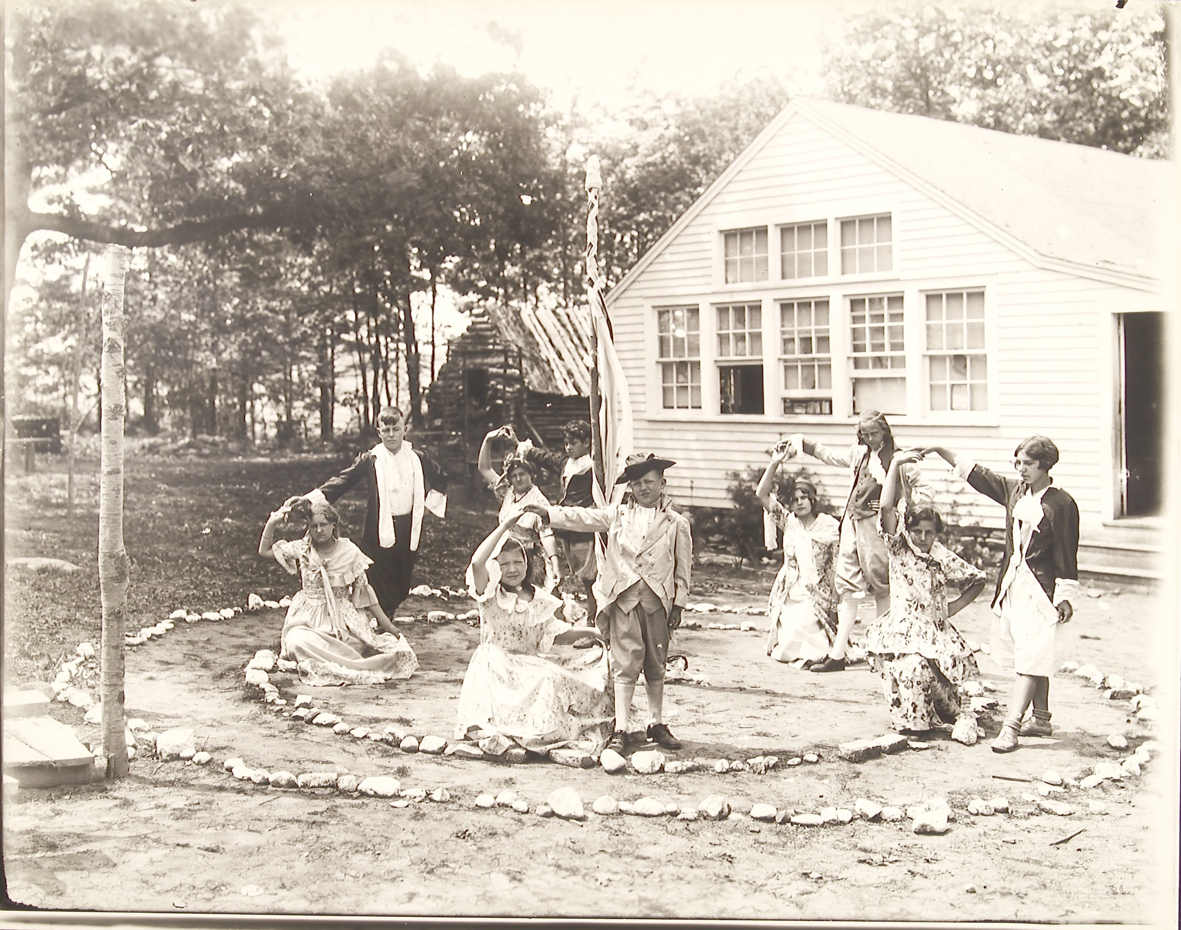
Harwintonians are proud to be the only “Harwinton” in the world!
**Trivia: “Harvington” is a similar name of a community located in Worcestershire, England.**
References:
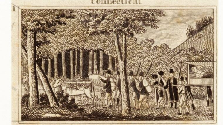
Feature Image: The Miriam and Ira D. Wallach Division of Art, Prints and Photographs: Picture Collection, The New York Public Library. “Connecticut: Mr. Hooker & his people travelling through the wilderness” New York Public Library Digital Collections.
[1] Park, Moses, and William Petty Lansdowne. To the right honourable, the Earl of Shelbourne, His Majesty’s principal Secretary of State for the Southern Department. This plan of the colony of Connecticut in North-America. [N.P, 1766] Map. https://www.loc.gov/item/73691553/.
[2] Ibid.
[3] This map was created in 1930 by Hayden L. Griswold. It illustrates the known Indian trails, villages and sachemdoms believed to be in existence in 1625 in the land that is now known as Connecticut.
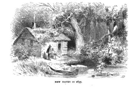
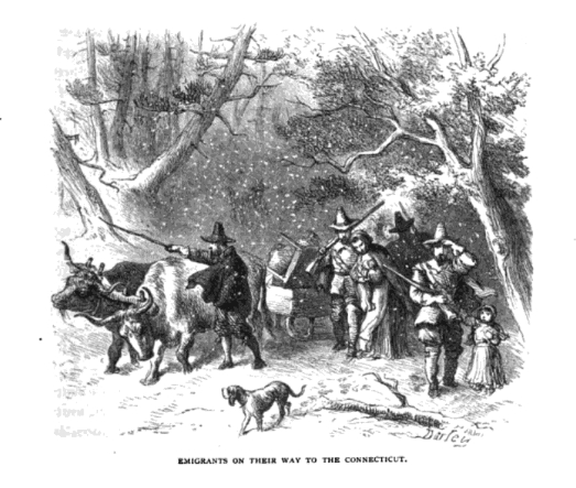
[4] Lossing, Benson John. Our Country : A Household History of the United States for All Readers, from the Discovery of America to the Present Time. New York: James A. Bailey, 1895.
[5] Ibid.
[6] May Day dance at Campville School, Connecticut State Library, State Archives, PG 180, Mills Photograph Collection, 1895-1955.